In this article, you will learn how to establish a secure connection between QGIS and GeoServer on the Sensing Clues Platform.
Step 1: Open the WMS/WMTS dialog in QGIS
From the menu, go to "Layers → Add Layer → Add WMS/WMTS Layer"
orClick the Add WMS/WMTS layer button from the "Manage Layers toolbar".
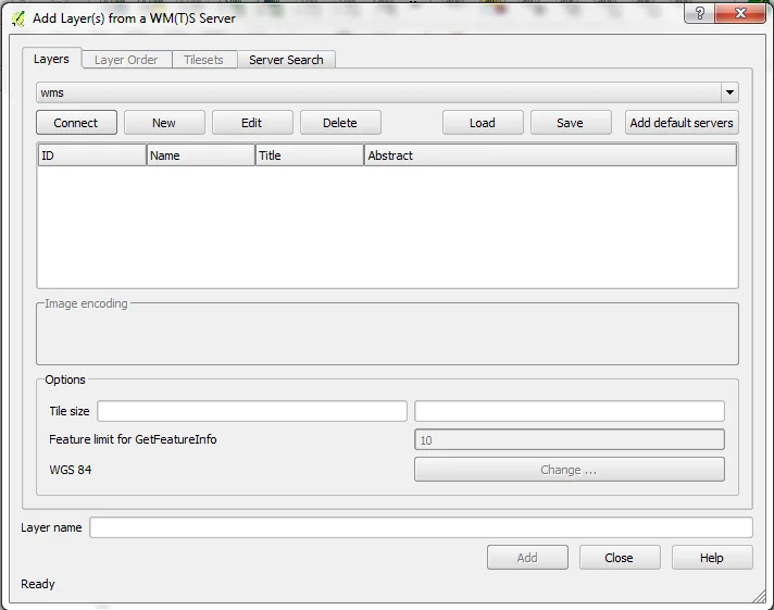
Step 2: Create a new connection
In the dialog, click "New" to add a new connection.
Step 3: Get the connection URL from GeoServer
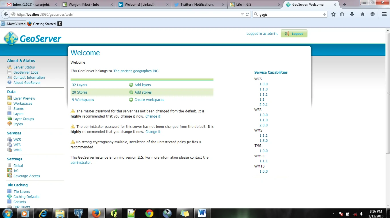
- Open GeoServer in your browser:
https://geoserver.sensingclues.org/geoserver - Log in with the credentials provided by Sensing Clues

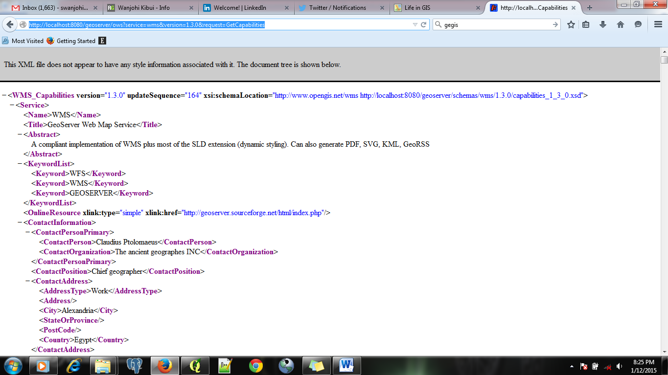
- In the left-hand column, under "Service Capabilities → WMS", select "1.3.0". A new page with the service URL will open.
- Copy the URL from your browser’s address bar.
Step 4: Configure the connection in QGIS
Paste the copied URL into the URL field of the "New Connection" dialog in QGIS.
- Click on the "Connect" button to load the layers from GeoServer.
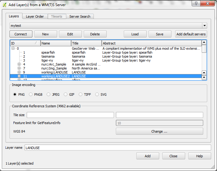
Step 5: Load layers into QGIS
Select the layer(s) of interest.
Click "Add", then "Close".
The selected layer will now be visible in your QGIS project, directly from GeoServer.
Note on WFS and WCS
The procedure is the same for WFS (Web Feature Service) and WCS (Web Coverage Service). Just remember to choose the appropriate option (e.g., WFS instead of WMS) when creating the connection.