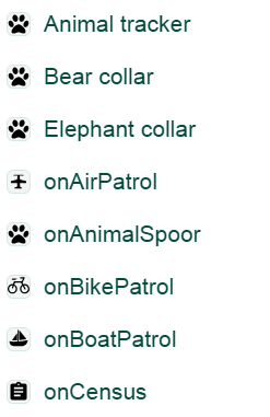
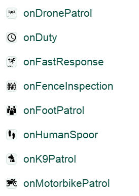
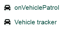
All tracks that are created and meet the filter criteria are shown on the map and in the list. Tracks are represented on the map by a blue icon, as shown in the figure below:
- All tracks that are created and meet the selected filter criteria are displayed both on the map and in the track list.
- Tracks are represented on the map by blue icons (see image below). Each icon corresponds to a specific track type.
- For a complete and up-to-date overview of all available icons and track types, please visit the Taxonomy explorer in Sensing Clues Central.
- Users with a Premium Subscription also have the ability to suggest new track types directly within Sensing Clues Central.

Actions when you click on a track on the map:
The track icon is enlarged
All points of the track (small red dots) are displayed on the map
Icons of observations created during the track are enlarged on the map
The list is limited to the track details and the related observations

Important:
Tracks shorter than 20 meters are not registered in Focus 360.
Tracks are automatically stopped at night (CET) by the system. If a track is still ongoing, a new track will be created automatically.